

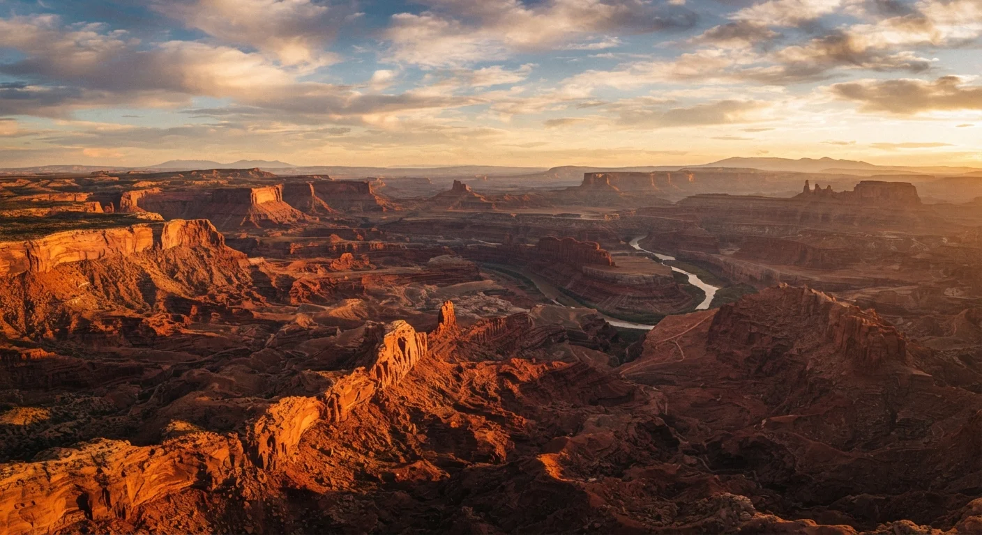
Why the Southwest's Park System Is Unlike Anything Else
No region in the United States concentrates so many world-class national parks into a single, road-trip-friendly corridor as the American Southwest. Within roughly 500 miles, a traveler can walk the rim of the Grand Canyon, thread through Zion's soaring slot canyons, balance atop a natural arch in Arches, and watch hoodoos glow at dawn in Bryce Canyon. This is not coincidence — it's geology. The Colorado Plateau, a massive uplifted tableland spanning parts of Utah, Arizona, Colorado, and New Mexico, has been sculpted over hundreds of millions of years by water, wind, and tectonic uplift into an encyclopedia of landforms found nowhere else on Earth.
Understanding what distinguishes each park — and how they relate to one another — helps travelers plan more intentionally and appreciate what they're actually seeing. This orientation covers the region's anchor parks, their defining characteristics, and the geographic story connecting them all.
The Anchor Parks: What Sets Each One Apart
Each major Southwest park occupies its own ecological and geological niche, which means visiting one does not substitute for visiting another.
- Grand Canyon National Park (Arizona): The canyon drops over a mile deep and exposes nearly two billion years of Earth's geological record in its walls. No photograph fully captures its scale. The South Rim is accessible year-round; the more remote North Rim typically closes in winter.
- Zion National Park (Utah): Zion's defining feature is the Virgin River Narrows — a slot canyon carved through 2,000-foot sandstone walls. The park rewards hikers of all ability levels, from paved riverside strolls to the strenuous Angels Landing summit.
- Bryce Canyon National Park (Utah): Technically an amphitheater rather than a canyon, Bryce is famous for its hoodoos — tall, thin spires of eroded rock. At over 8,000 feet elevation, it also offers some of the darkest skies for stargazing in the continental U.S.
- Arches National Park (Utah): Home to more than 2,000 natural sandstone arches, including the iconic Delicate Arch. The park sits near Moab and pairs naturally with neighboring Canyonlands.
- Canyonlands National Park (Utah): The Colorado and Green Rivers carve Canyonlands into three distinct districts — Island in the Sky, The Needles, and The Maze — each with its own character and access requirements.
- Capitol Reef National Park (Utah): Often overlooked, Capitol Reef preserves the Waterpocket Fold, a nearly 100-mile wrinkle in the Earth's crust. Its historic Fruita orchards and petroglyphs add cultural depth.
Hoodoo
A tall, thin spire of rock formed by differential erosion, where harder caprock protects softer material beneath from weathering. Bryce Canyon is the world's largest concentration of hoodoos.
Colorado Plateau
A high, semi-arid tableland centered on the Four Corners region of the Southwest, covering roughly 130,000 square miles. Its relatively stable geology and dramatic uplift created the conditions for the region's iconic canyon landscapes.
Slot Canyon
A narrow canyon formed by water rushing through rock, often only a few feet wide but hundreds of feet deep. Zion's Narrows and Antelope Canyon are famous examples.
Waterpocket Fold
A nearly 100-mile-long geological wrinkle in the Earth's crust preserved within Capitol Reef National Park, created by tectonic forces that buckled rock layers upward.
Timed-Entry Permit
A reservation system used by many national parks to manage visitor volume at peak times. Travelers must secure a permit in advance for a specific entry window, separate from standard admission fees.
Practical Orientation: Seasons, Access, and Planning Essentials
The Southwest's parks are open year-round but experience dramatically different conditions by season. Spring (March–May) and fall (September–November) are generally considered the most comfortable for hiking, with moderate temperatures and lower visitor density. Summer brings intense heat at lower elevations — triple-digit temperatures are common in the Grand Canyon and Zion — while higher-elevation parks like Bryce may feel refreshingly cool. Winter can close certain roads and trails but also brings occasional snow that dusts the red rocks in spectacular fashion.
Always Check Before You Go
Entry requirements, trail conditions, and permit systems across Southwest national parks can change with little notice — especially during peak seasons. Flash flooding is a genuine hazard in canyon environments, including slot canyons and riverside trails, and can occur even without local rain. Check the NPS website and local weather forecasts before any hike, and follow all posted ranger guidance.
Most parks now require timed-entry permits or reservations for popular trails and entry windows during peak season. Conditions, road closures, and permit requirements change regularly, so always verify current information with the National Park Service (nps.gov) before your trip.
84M+
Annual visits to Southwest national parks
The Grand Canyon, Zion, and Arches collectively draw tens of millions of visitors each year, according to NPS visitation data.
277 miles
Length of the Grand Canyon
According to the National Park Service, the Grand Canyon stretches 277 river miles and reaches depths of over a mile.
130,000 sq mi
Area of the Colorado Plateau
The U.S. Geological Survey estimates the Colorado Plateau covers approximately 130,000 square miles across four states.
The America the Beautiful Interagency Annual Pass grants access to all federal lands including national parks for one calendar year — a practical option for anyone planning to visit multiple parks in a single journey. Passes are available at park entrance stations and online through the NPS.